Hi, thanks for visiting my personal website! Here you will find a summary of my research, work experience and personal projects.
📡 Research
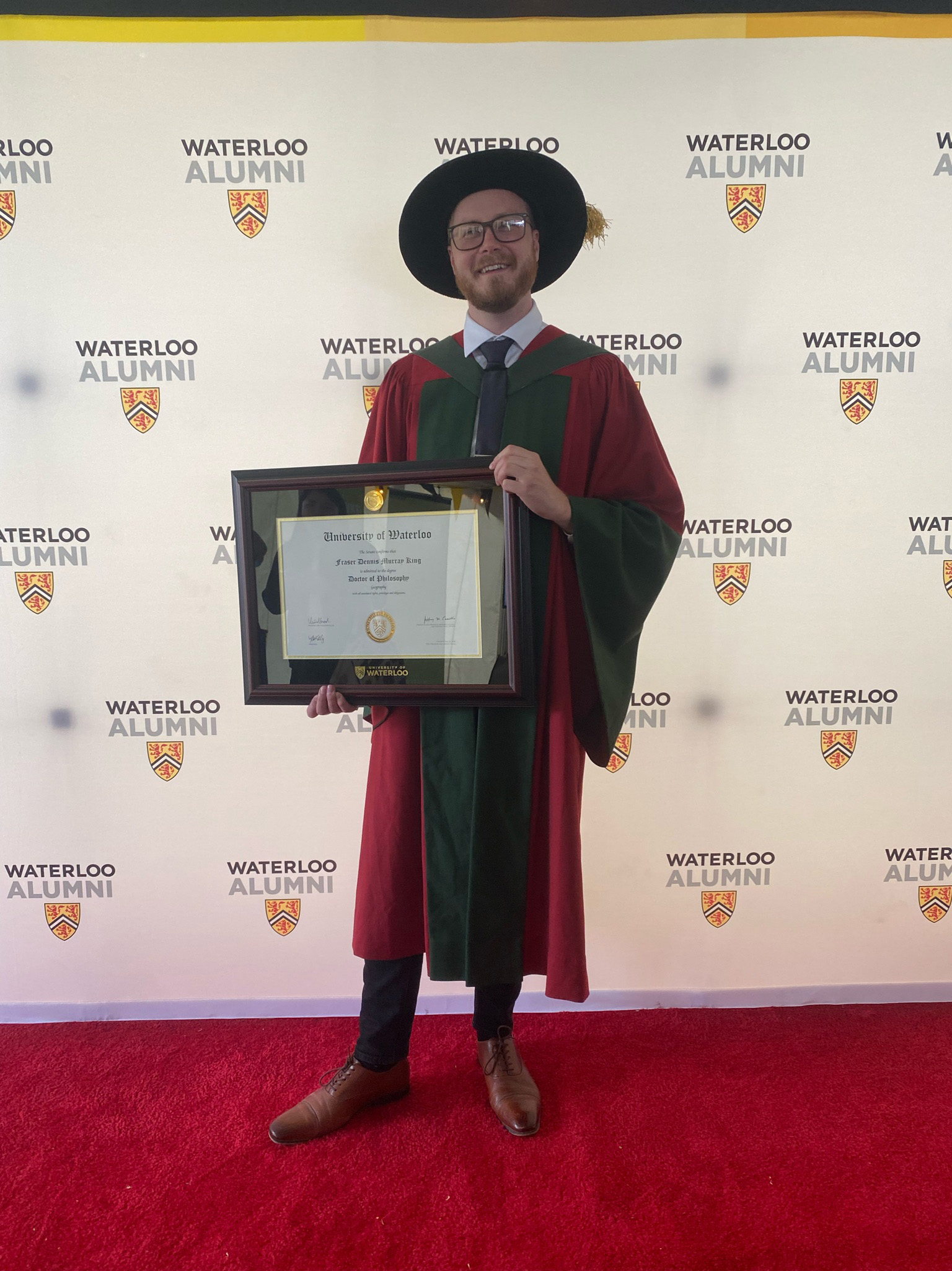
I earned a PhD in machine learning and remote sensing of precipitation in 2022 from the University of Waterloo as a finalist for the University's 2023 Governor General's Gold Medal, specializing in Arctic snowfall prediction, deep learning and model interpretability.
Prior to my PhD, I received my Master of Science focusing on remote sensing and statistical modelling of snowfall, and my Bachelor of Computer Science specializing in statistical modelling and 3D graphics.
I am an Associate Editor at AMS' Journal of Atmospheric and Oceanic Technology, and a member of the AMS Committee on Artificial Intelligence Applications to Environmental Science.
🖥 Work
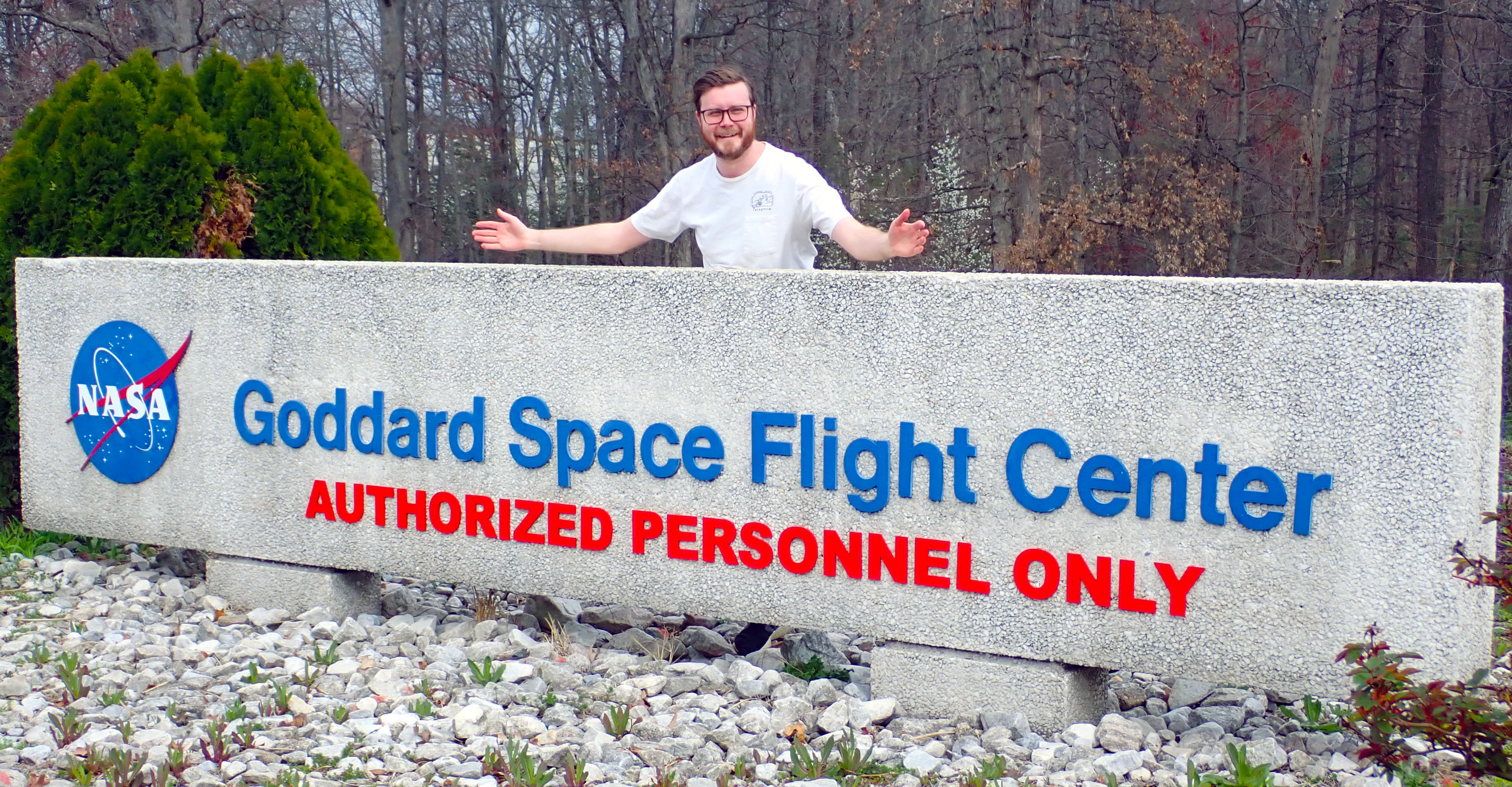
Currently employed as a postdoctoral research associate at the NASA Goddard Space Flight Center, working on designing and optimizing microwave land surface emessivity models and precipitation retreivals using deep learning.
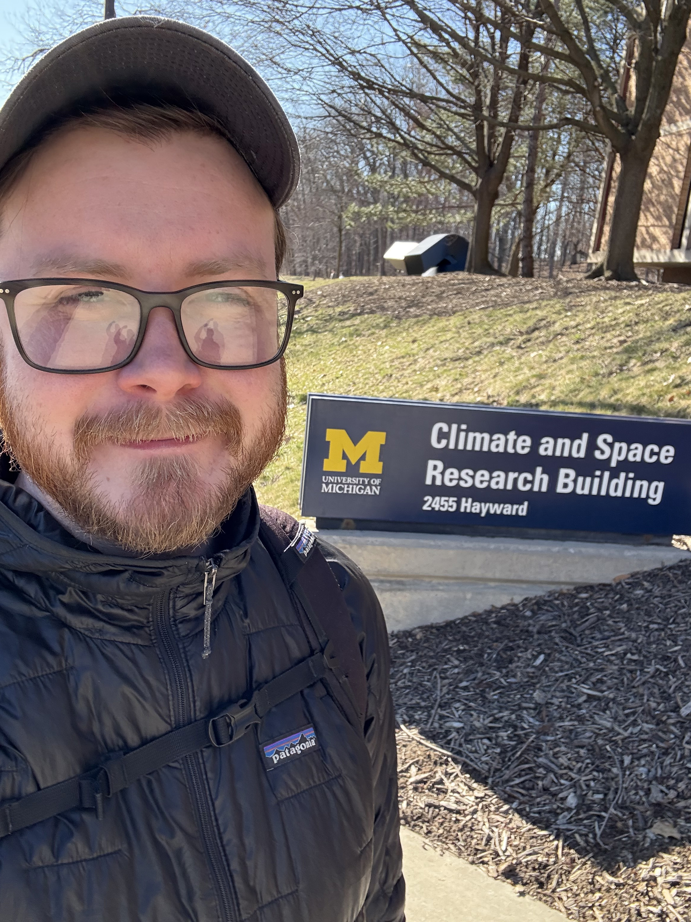
I previously worked as a Research Fellow at the University of Michigan and the NASA Jet Propulsion Laboratory on deep learning applications for precipitation, generative models, dimensionality reduction and model explainability.
I have 2 years work experience as an artificial intelligence research intern at Aquanty Inc., working on bias correcting climate model variables using random forests, neural networks and statistical regression models.
I also have 5+ years of full stack web development experience working in online education, along with 5+ years experience working as an iOS mobile developer in the fintech sector.
My passion for data science and cartography led to the foundation of my own company in 2020 (MapsByFraser). At MapsByFraser, I combine the artistry of archival cartography with state-of-the-art satellite topographic data to derive new perspectives for viewing bygone eras. Our most recent collaboration was with Google's Quantum AI team in Santa Barbara.
💻 Programming
With a diverse range of programming skills under my belt, I've honed my expertise in several languages, including Python, C++, JavaScript, Objective-C, Swift and Rust. I also have experience using a variety of high performance computing platforms including Azure, Compute Engine, AWS, as well as various CCDB supercomputing clusters.
I am proficient in tools/languages such as TensorFlow, Keras, PyTorch, Numpy, Scikit-learn, CUDA and OpenCV.
🚀 Personal
As a science outreach advocate, I promote the work of early career scientists as an executive council member on the AGU Precipitation Technical Committee, and highlight student research as an executive member of the Eastern Snow Conference research board. If you would like your work highlighted, please reach out!
I am a reader 📖, chess player ♟, biker 🚴 and volleyball enthusiast 🏐.
📧 Contact
frasertheking (at) gmail (dot) com
PGP verification key can be downloaded here
LinkedIn - Github - Stackoverflow - BlueSky
For a complete, up-to-date list my most recent publications, please see my Google Scholar page.
Journal Publications & Theses
- King, F., Posselt, D., Pettersen, C., Ringerud, S., & Xie, Y. (2025). Towards Interpretable Machine Learning Models in the Geosciences. Journal of Geophysical Research: Machine Learning and Computation, in review.
- Xie, Y., King, F., Pettersen, C., & Flanner, M. (2025). Machine learning detection of melting layers from radar observations. Journal of Geophysical Research: Machine Learning and Computation, 2, e2024JH000521. https://doi.org/10.1029/2024JH000521
- Richter, J., Pettersen, C., Moisseev D., Shates, J., & King, F., (2024). Impacts of Atmospheric Rivers on Snowfall Properties. Journal of Applied Meteorology and Climate, in review.
- King, F., Pettersen, C., Dolan, B., Shales, J., Posselt, D., (2024). Decoding Global Precipitation Processes and Particle Evolution Using Unsupervised Learning. Science Advances, in review.
- King, F., Pettersen, C., Dolan, B., Shales, J., Posselt, D., (2024). Primary Modes of Northern Hemisphere Snowfall Particle Size Distributions. Journal of Atmospheric Science, https://doi.org/10.1175/JAS-D-24-0076.1.
- King, F., Pettersen, C., Bliven, L. F., Cerrai, D., Chibisov, A., Cooper, S. J., L’Ecuyer, T., Kulie, M. S., Leskinen, M., Mateling, M., McMurdie, L., Moisseev, D., Nesbitt, S. W., Petersen, W. A., Rodriguez, P., Schirtzinger, C., von Lerber, A., Wingo, M. T., Wolff, D. B., Wong, T. & Wood, N. (2024). A Comprehensive Northern Hemisphere Particle Microphysics Dataset from the Precipitation Imaging Package. Earth and Space Science. https://doi.org/10.1029/2024EA003538.
- King, F., Pettersen, C. & Fletcher, C. G., Geiss, A. (2024). Development of a deep full-scale connected U-Net for reflectivity inpainting in spaceborne radar clutter zones. Artificial Intelligence for the Earth Systems. https://doi.org/10.1175/AIES-D-23-0063.1.
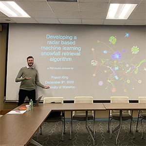
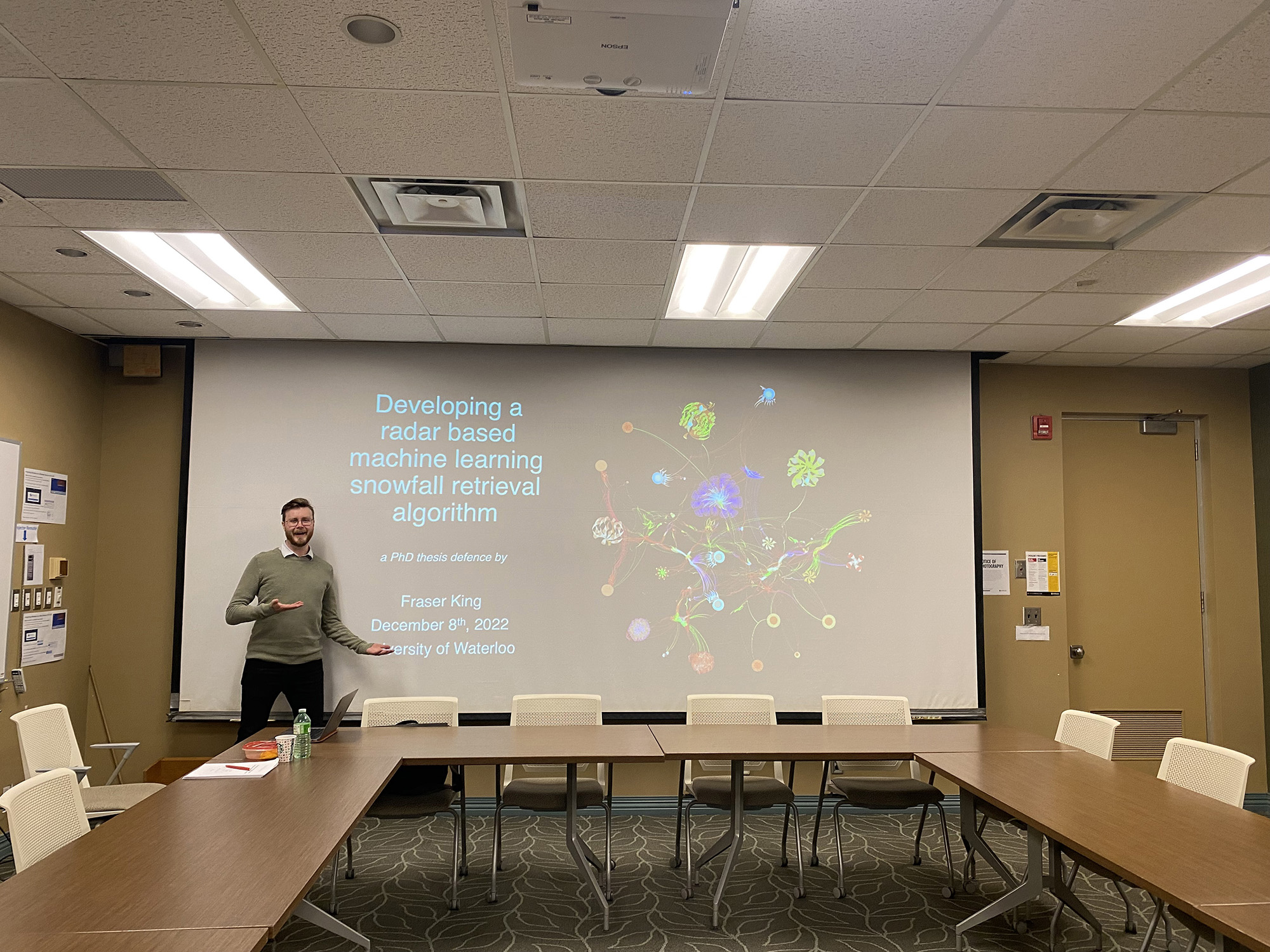
- King, F. (2023) Developing a radar-based machine learning snowfall retrieval algorithm. PhD Thesis. UW Space. http://hdl.handle.net/10012/19015
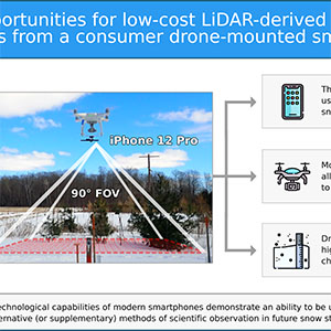
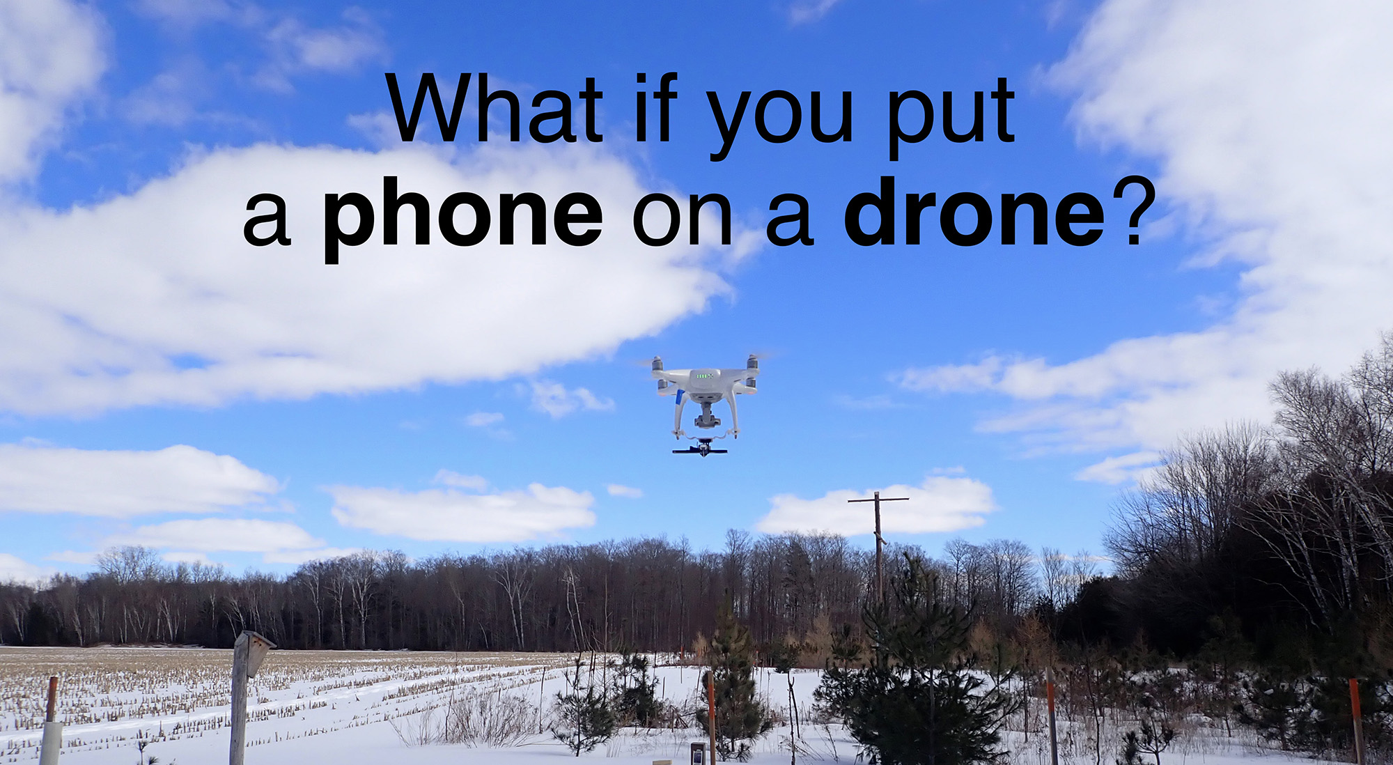
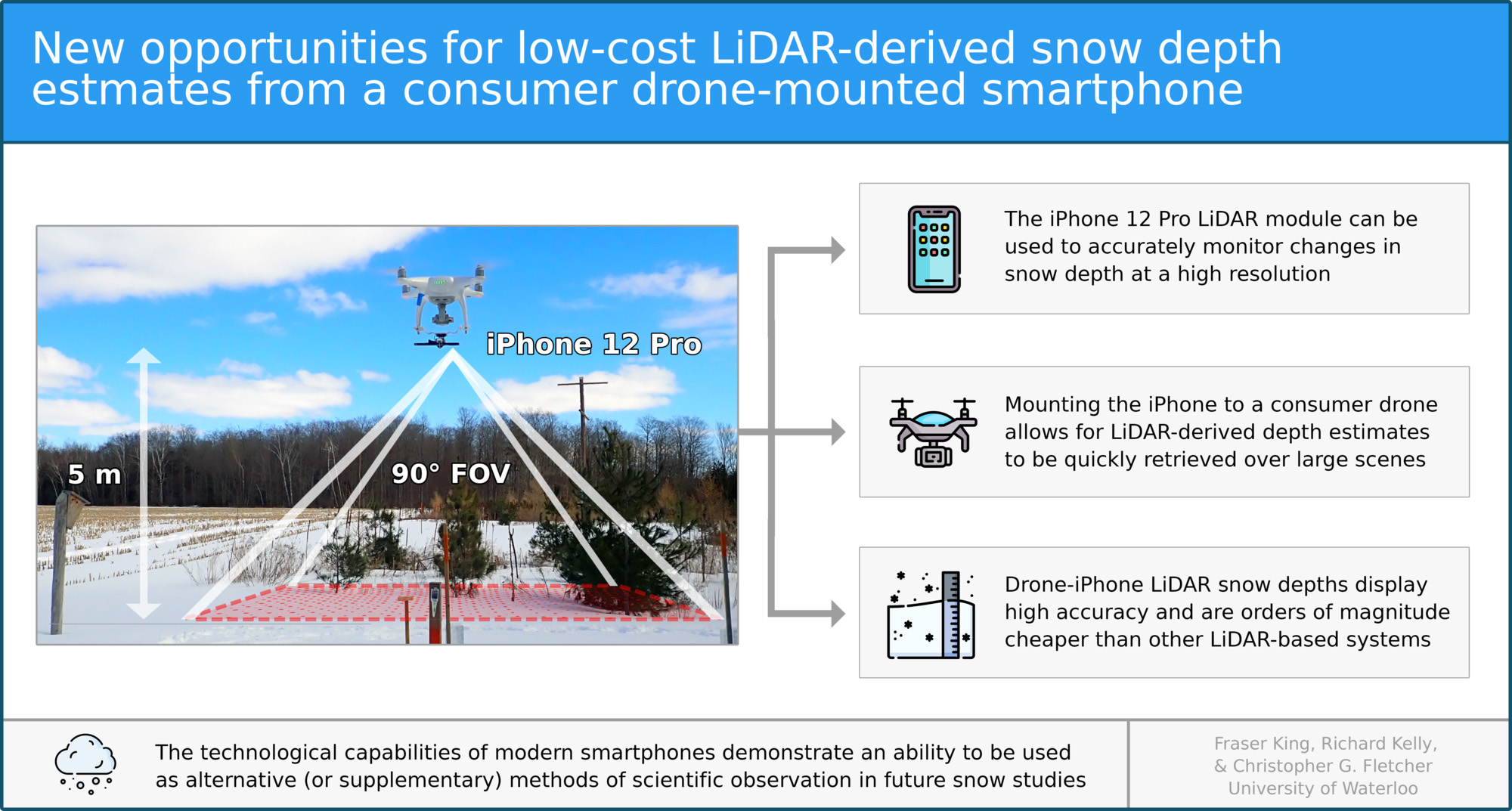
- King, F., Kelly, R., & Fletcher, C. G. (2023). New opportunities for low-cost LiDAR-derived snow depth estimates from a consumer drone-mounted smartphone. Cold Regions Science and Technology, 207, 103757. https://doi.org/10.1016/j.coldregions. 2022.103757
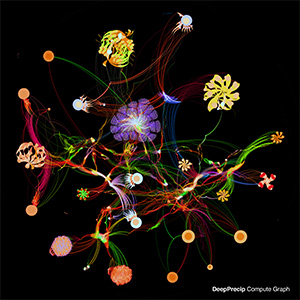
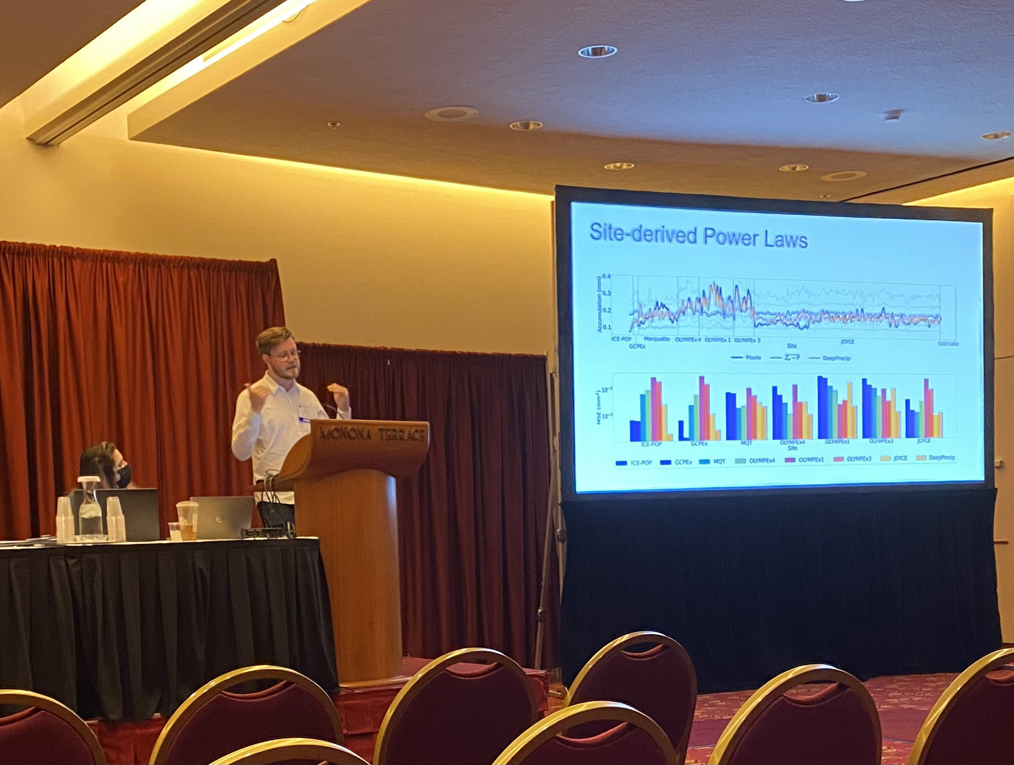
- King, F., Duffy, G., Milani, L., Fletcher, C. G., Pettersen, C., & Ebell, K. (2022). DeepPrecip: A deep neural network for precipitation retrievals. Atmospheric Measurement Techniques, 15, 6035–6050. https://doi.org/10.5194/amt-15-6035-2022
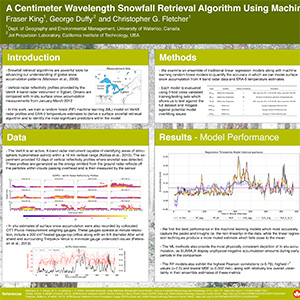
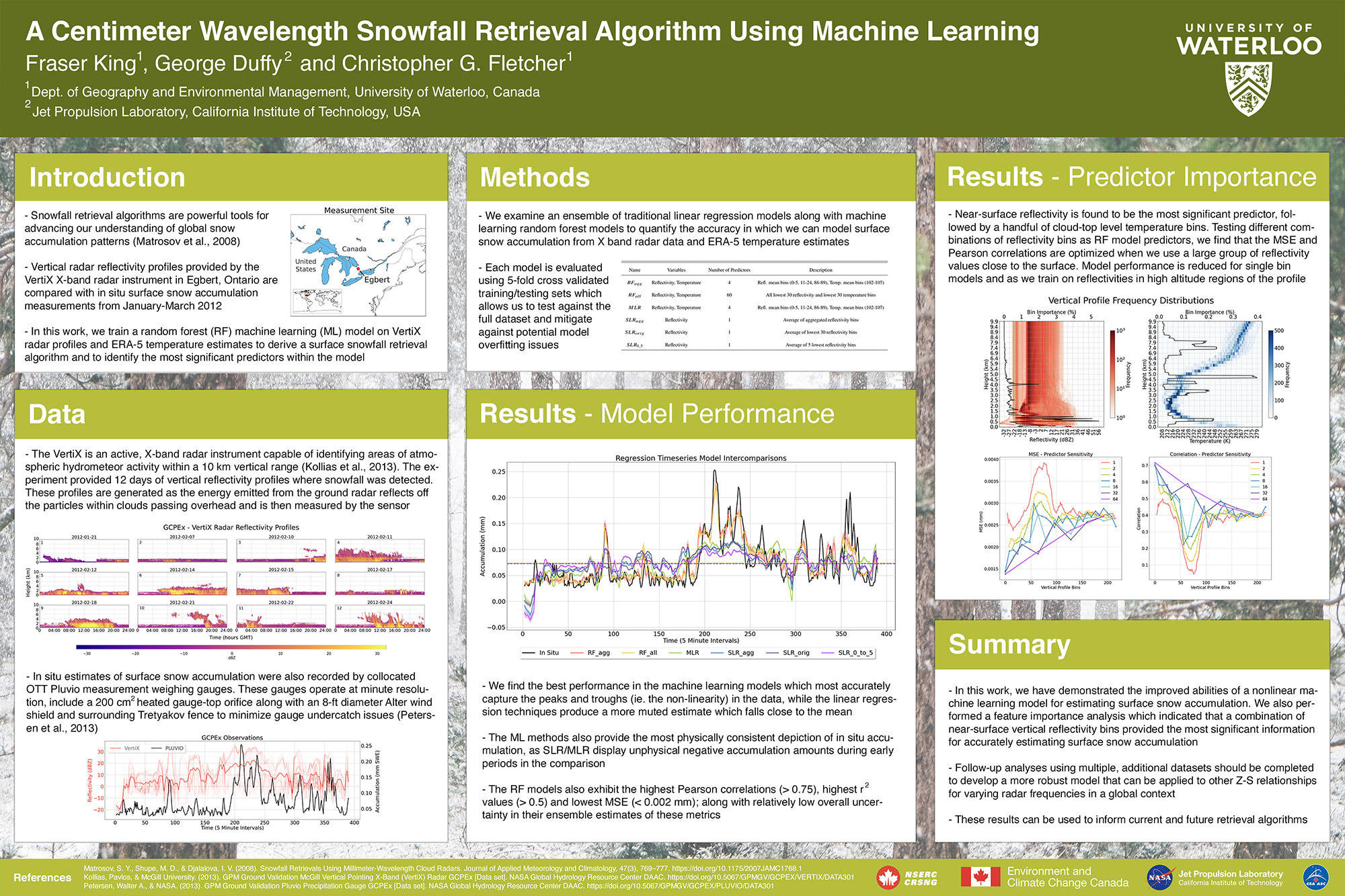
- King, F., Duffy, G., & Fletcher, C. G. (2022). A Centimeter Wavelength Snowfall Retrieval Algorithm Using Machine Learning. Journal of Applied Meteorology and Climatology, https://doi.org/10.1175/JAMC-D-22-0036.1
- King, F., Kelly, R., & Fletcher, C. G. (2022). Evaluation of LiDAR-Derived Snow Depth Estimates From the iPhone 12 Pro. IEEE Geoscience and Remote Sensing Letters, https://doi.org/10.1029/2021MS002836
- Fletcher, C. G., McNally, W., Virgin, G., & King, F. (2022). Toward efficient calibration of higher resolution Earth System Models. Journal of Advances in Modeling Earth Systems, 19, 1–5. https://doi.org/10.1109/LGRS.2022.3166665
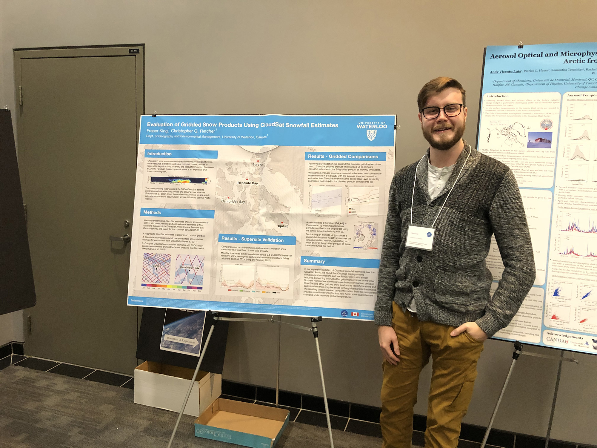
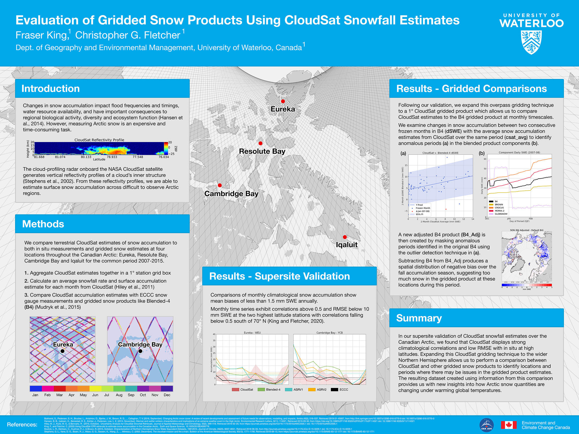
- King, F., & Fletcher, C. G. (2021). Using CloudSat-derived snow accumulation estimates to constrain gridded snow water equivalent products. Earth and Space Science, e2021EA001835. https://doi.org/10.1029/2021EA001835
- Duffy, G., King, F., Bennartz, R., and Fletcher, C. G. (2021). Seasonal Estimates and Uncertainties of Snow Accumulation from CloudSat Precipitation Retrievals. Atmosphere, 12(3), 363. https://doi.org/10.3390/atmos12030363
- King, F., Erler, A. R., Frey, S. K., and Fletcher, C. G. (2020). Application of machine learning techniques for regional bias correction of snow water equivalent estimates in Ontario, Canada, Hydrol. Earth Syst. Sci., 24, 4887–4902, https://doi.org/ 10.5194/hess-24-4887-2020
- King, F. (2019) Validating CloudSat-CPR retrievals for the estimation of snow accumulation in the Canadian Arctic. MS Thesis. UW Space. http://hdl.handle.net/10012/14736
- King, F., & Fletcher, C. G. (2020). Using CloudSat-CPR Retrievals to Estimate Snow Accumulation in the Canadian Arctic. Earth and Space Science, 7(2), e2019EA000776. https://doi.org/10.1029/2019EA000776
Other Peer-reviewed Publications
- King, F. (2024). Beyond the Blind Zone: Inpainting radar gaps with deep learning. Towards Data Science. https://medium.com/towards-data-science/beyond-the-blind-zone-706ba4b171c5
- King, F. (2022). Do Neural Networks Dream of Falling Snow? Developing a deep learning radar-based precipitation retrieval. Towards Data Science. https://towardsdatascience.com/do-neural-networks-dream-of-falling-snow-89b5036ae324
- King, F., & Fletcher, C. G. (2020). Evaluation of gridded Snow Water Equivalent products using CloudSat-CPR snowfall estimates. The International Geoscience and Remote Sensing Symposium (IGARSS).
While I am always working on new projects (so stay tuned), here are a few of the major ones I've lead in the past.
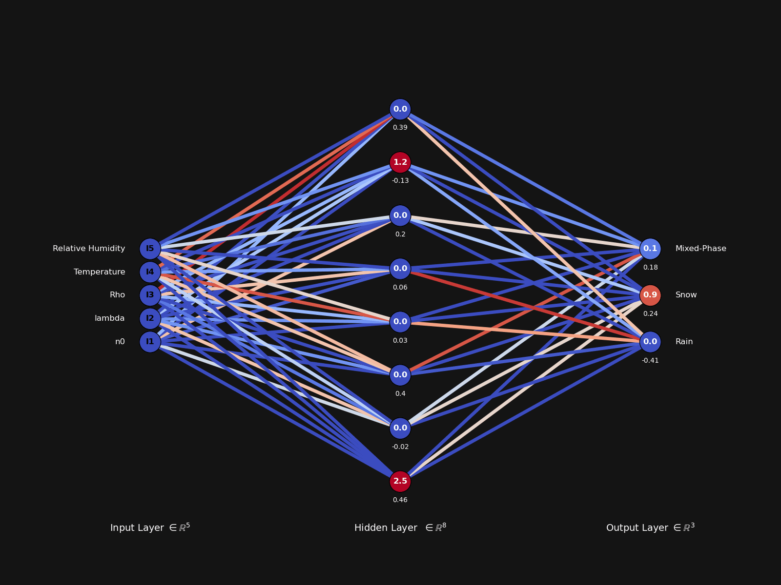
🎛 Towards Interpretable Physical Models
How do we know what our models are doing? Are they right for the right reasons? What can they teach us about the natural world? These are some of the questions we are working towards answering in this ongoing research project on developing interpretable physical models in the Geosciences. We are currently exploring these themes of mechanistic interpretability using a combination of sparse autoencoders and nonlinear dimensionality reduction techniques in toy physical models. Check out our demo video for more information.
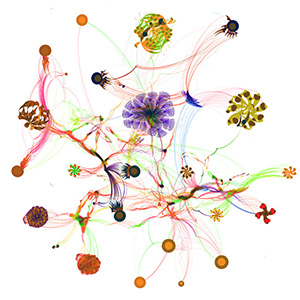
🌨 Microphysical Dimensionality Reduction
Using a combination of PCA, t-SNE and UMAP, we identify modes of variability within precipitation microphysical observations and assign a physical interpretation to the latent embedded features.
This series of papers are currently in review or preparation across multiple journals, and more information can be found on our GitHub project page and within the readthedocs references for working with the curated dataset.
🎨 BlindPaint
A full-scale connected U-Net with deep supervision layers for block inpainting of spaceborne radar blind zones. You can download and play around with the model on GitHub, and read the associated manuscript on Artificial Intelligence for the Earth Systems.
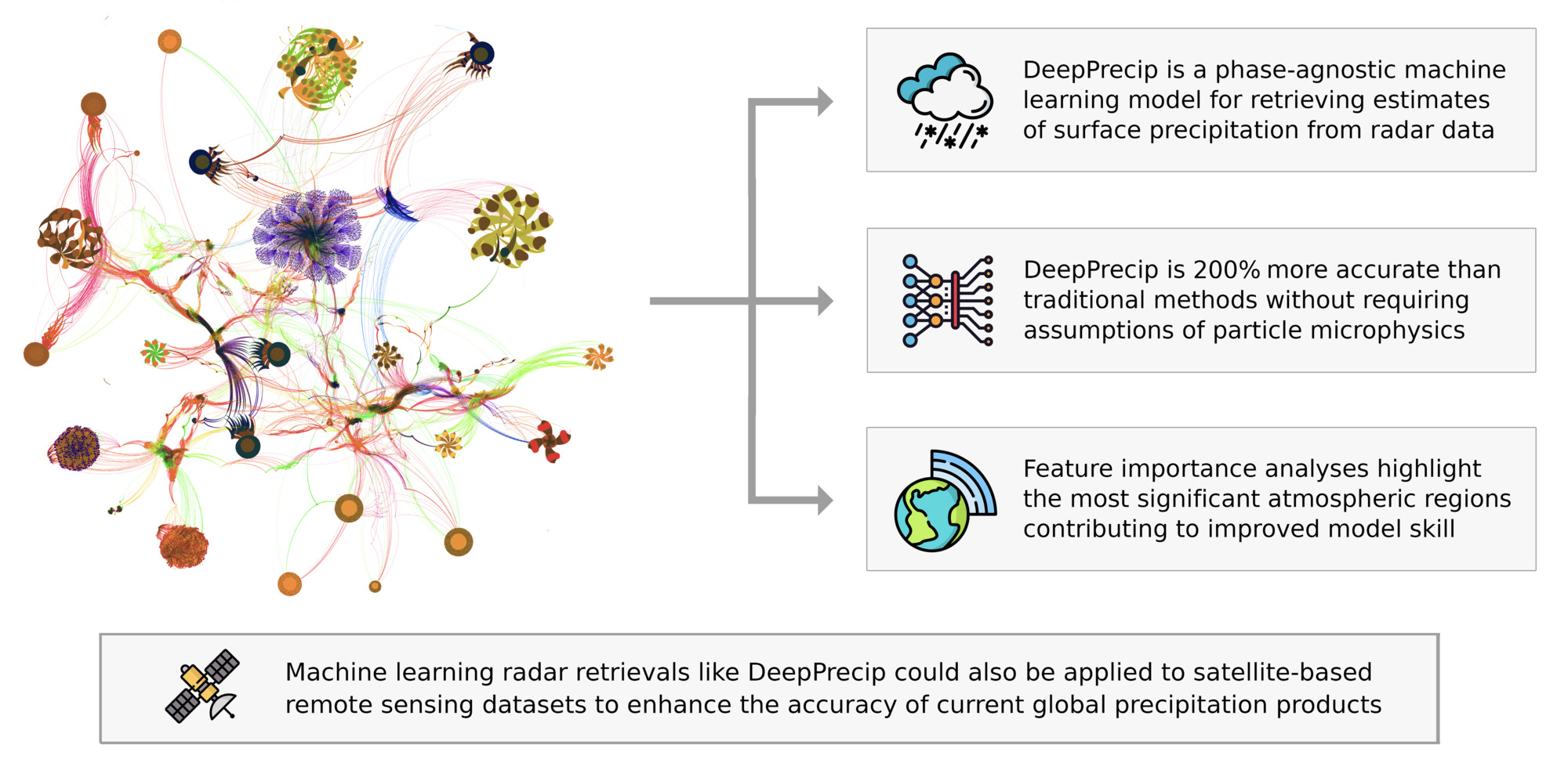
💧 DeepPrecip
A deep convolutional neural network for surface precipitation retrievals built from our previous machine learning retrieval work.
Test it out on GitHub:
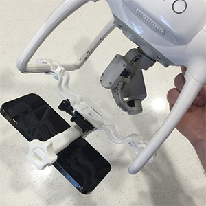
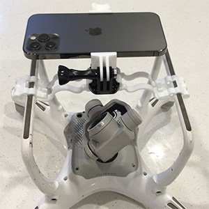
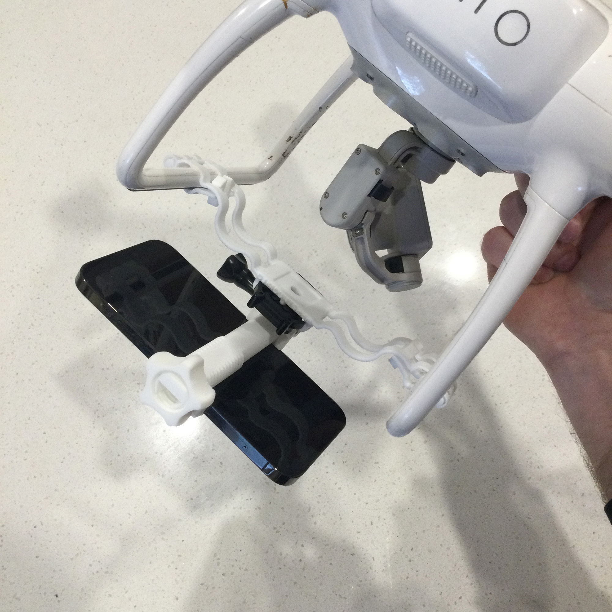
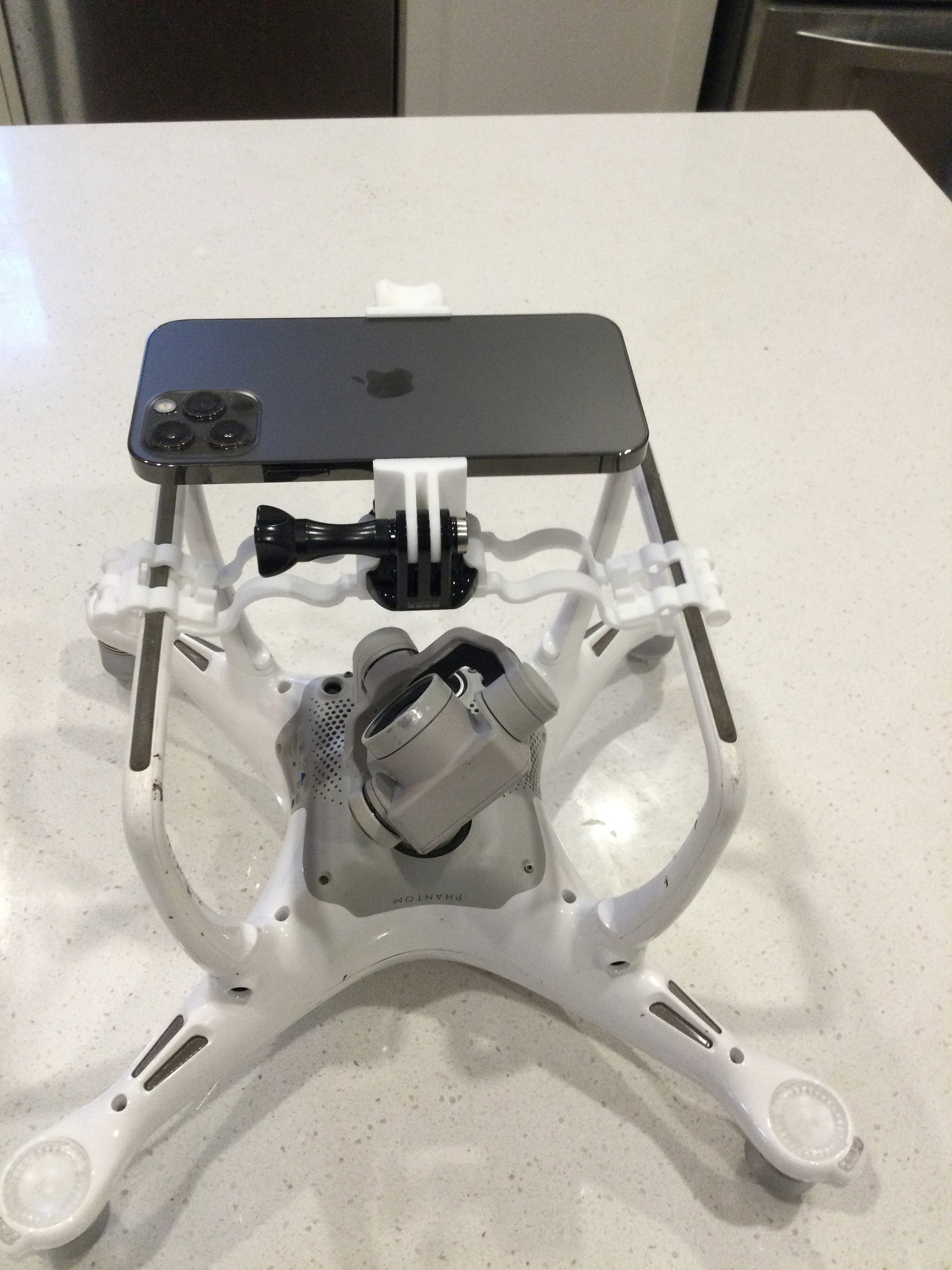
📱 iPhone LiDAR
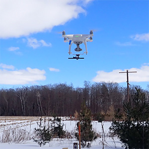
Using the iPhone 12 Pro's LiDAR sensor, we can remotely observe snow depth when attached to a consumer drone.
Interested in participating in citizen science? Check out our evaluation paper where we demonstrate what this technology can do!
🔍 NRCan Machine Learning Land Cover Classifier
High resolution satellite products provide detailed snapshots of the Earth’s surface. For this project, I developed and led a 12 week course examining the capabilities multiple machine learning techniques trained on Sentinel-2 data to produce an accurate and robust land cover classifier with a group of students.
🌎 Climate Model Calibration using Machine Learning
The ability to bring climate model estimates closer to reality is an important step for improving our understanding of the global water-energy budget. In this project, we experiment with a variety of increasingly sophisticated machine learning models to remove nonlinear biases in a set of climate variables related to snow. Check out more of our recent machine learning Earth System Model calibration work here.
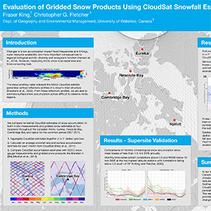
🛰 CloudSat Snowfall Validation
CloudSat is one of the few observationally-based sources of high latitude snowfall information currently available. This project evaluated the massive CloudSat snowfall database to enhance other gridded snow products through a statistical outlier detection methodology we developed.
❄ Snow Modelling
This is a side project written in Rust to create a simple scheme snow model that can handle both a physical-based (energy balance) approach to melt calculations and a temperature-index approach.
The snowmodel uses a variety of empirical values to help model some of the physical processes, and the origin of these values (along with the corresponding formula description) can be found in Chapter 5 of Dingman, 2015.
View my 2019 University of Waterloo GRADflix 1st Place Research Video
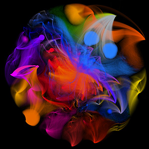
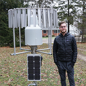
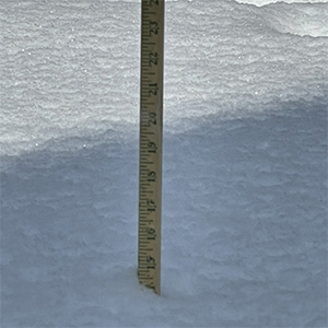
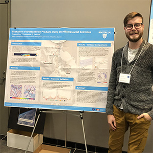
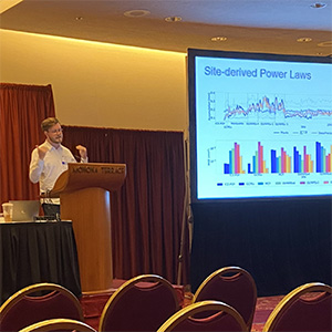
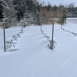
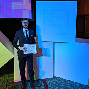
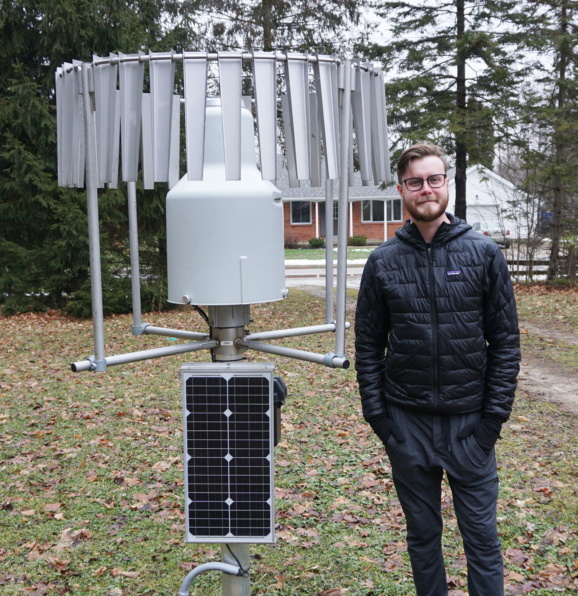
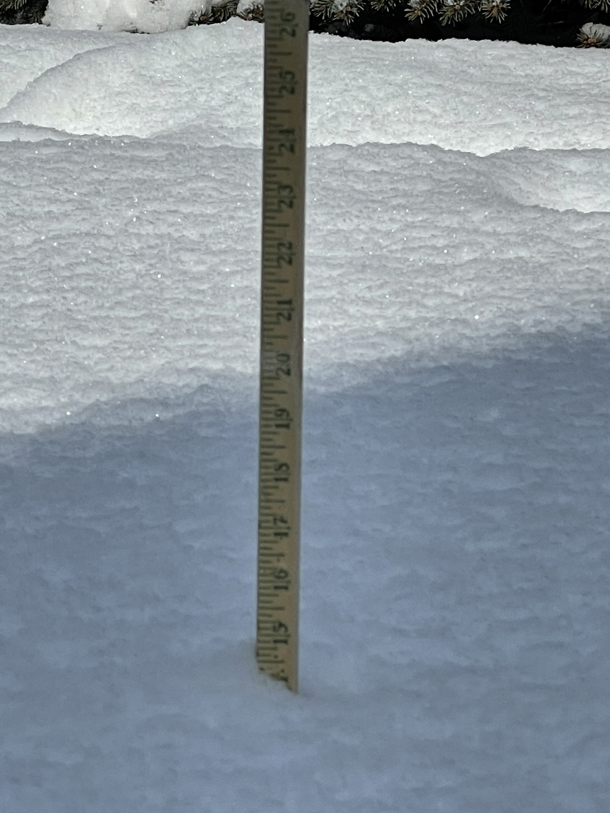
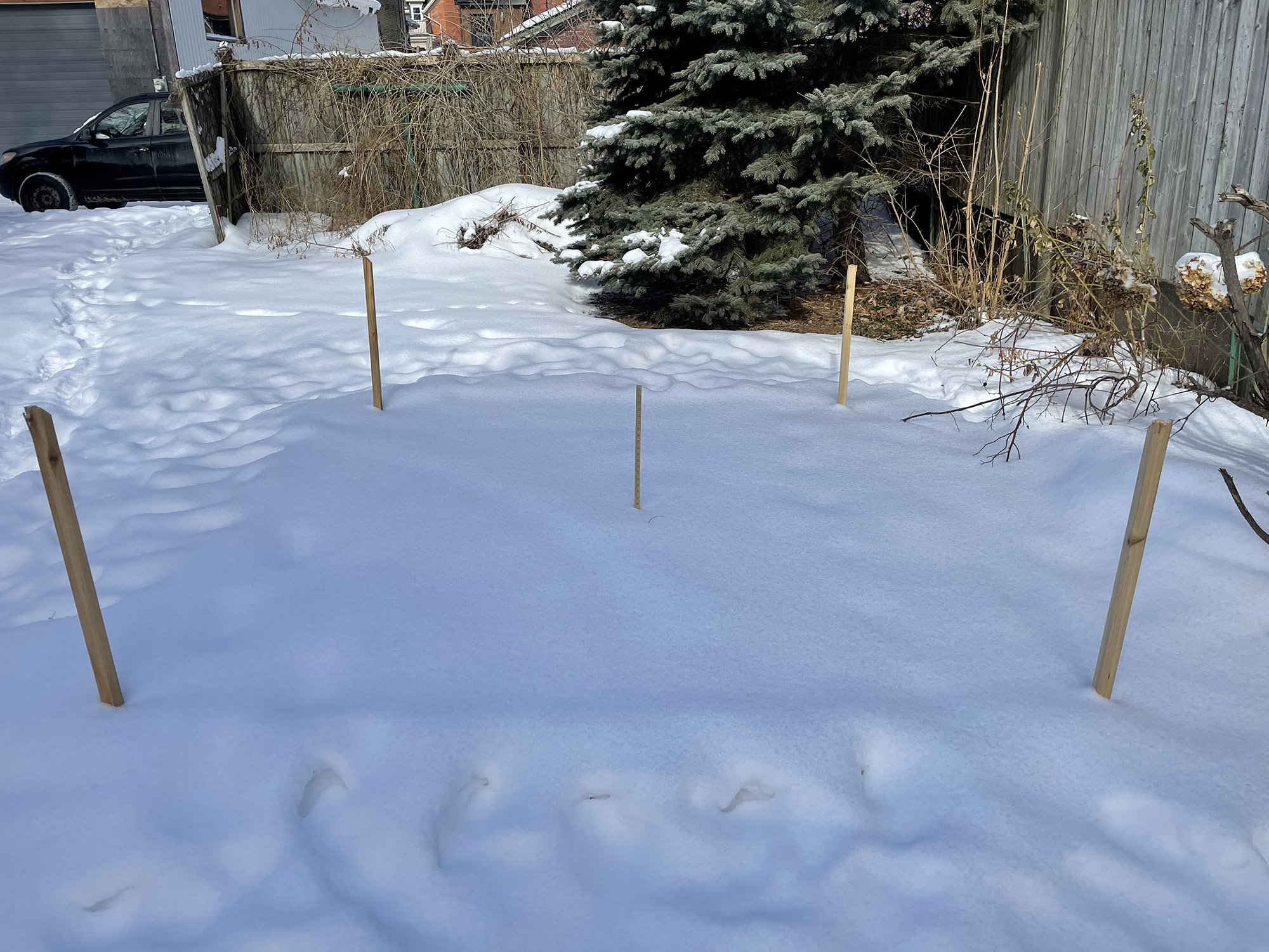
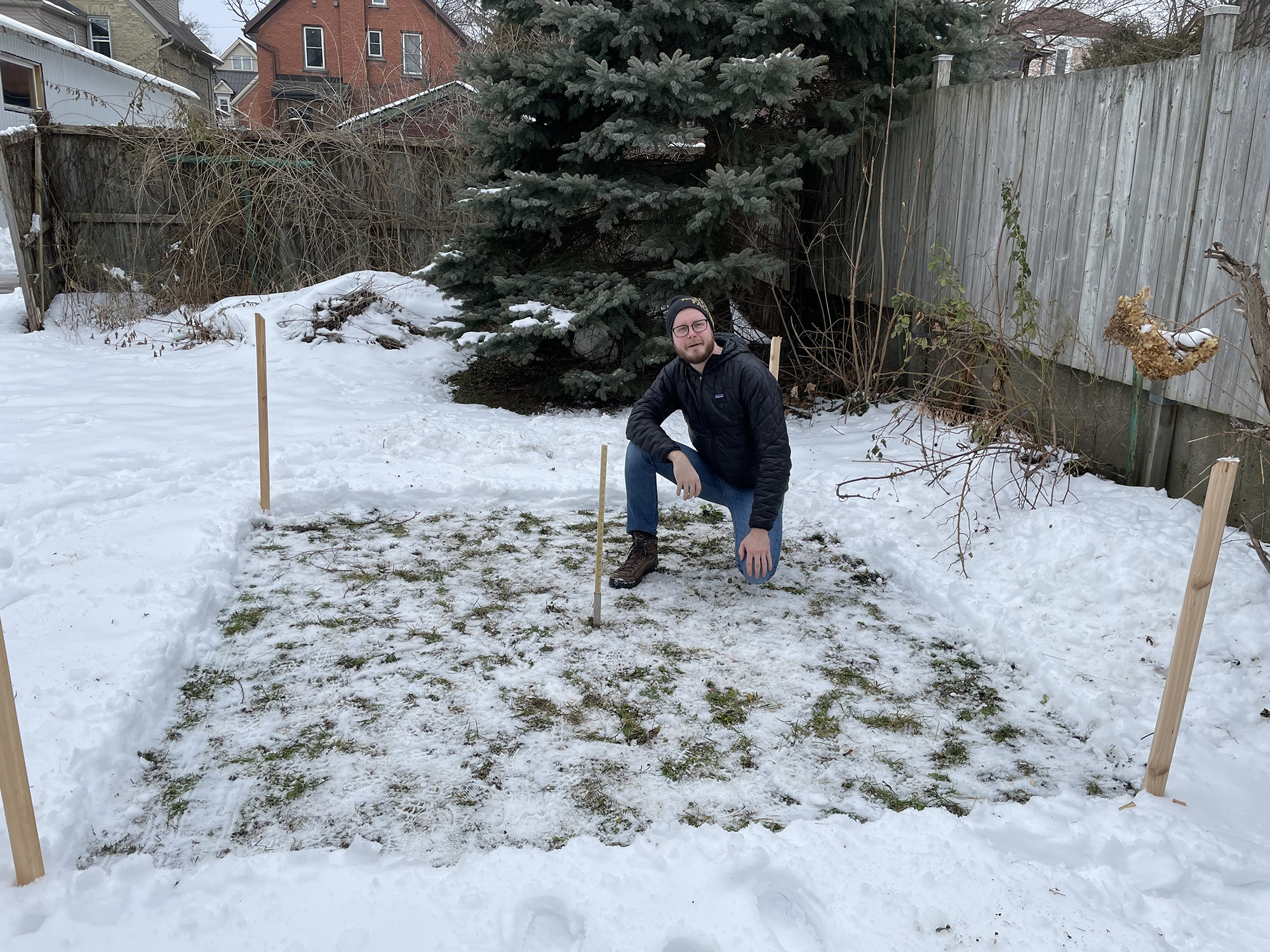
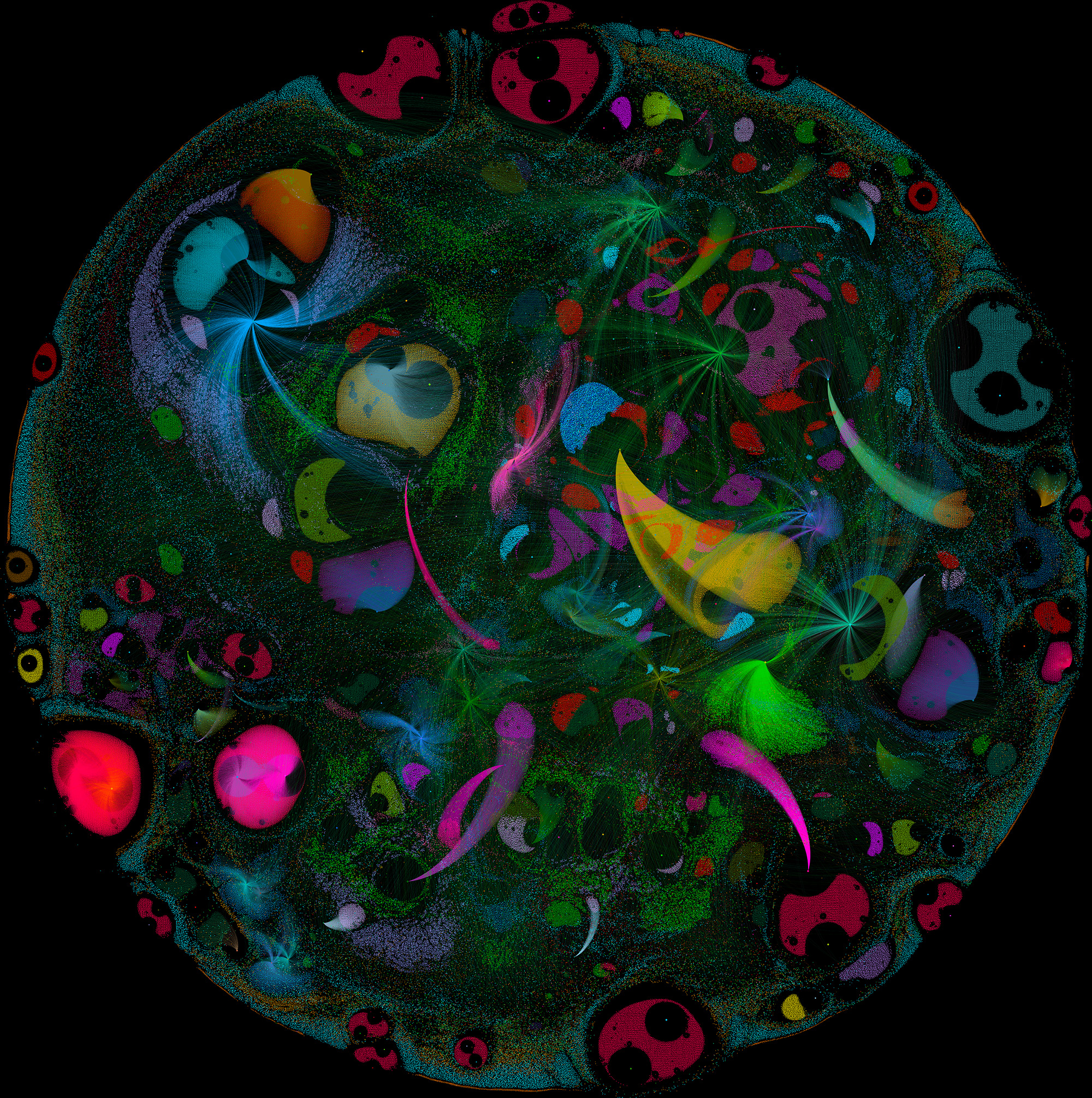
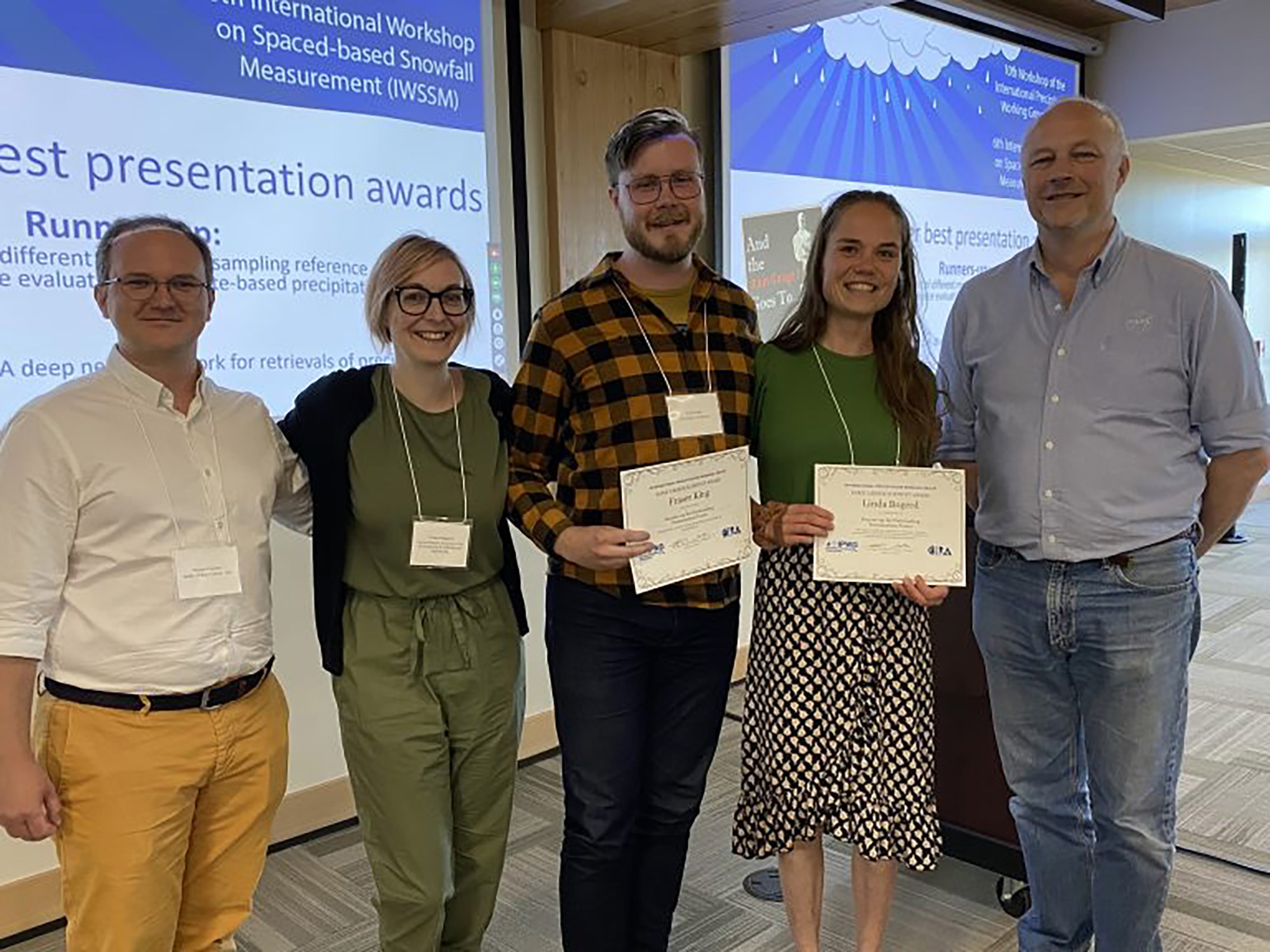
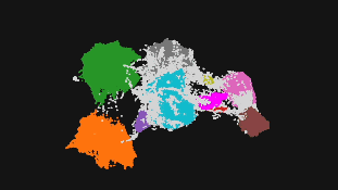
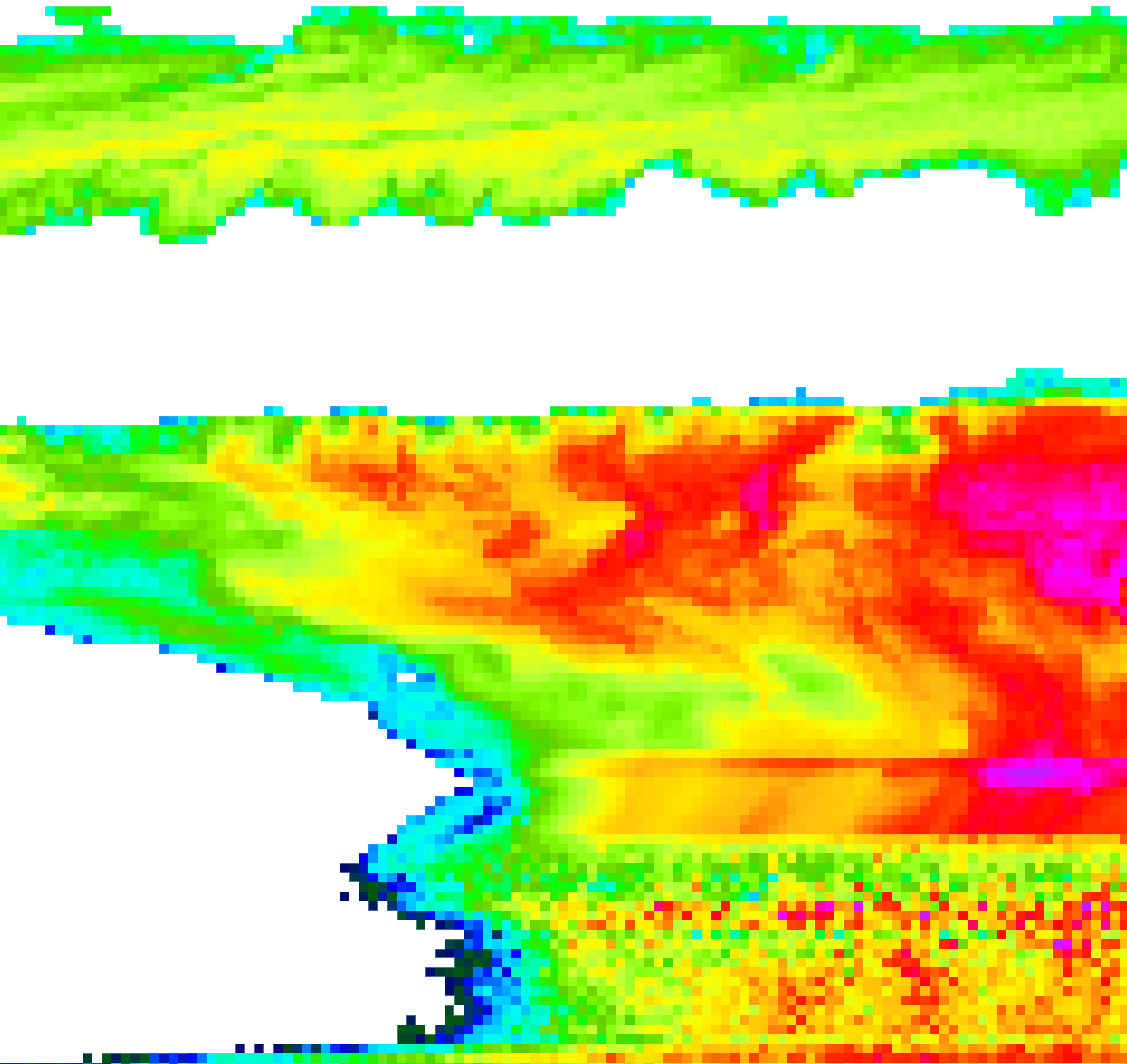
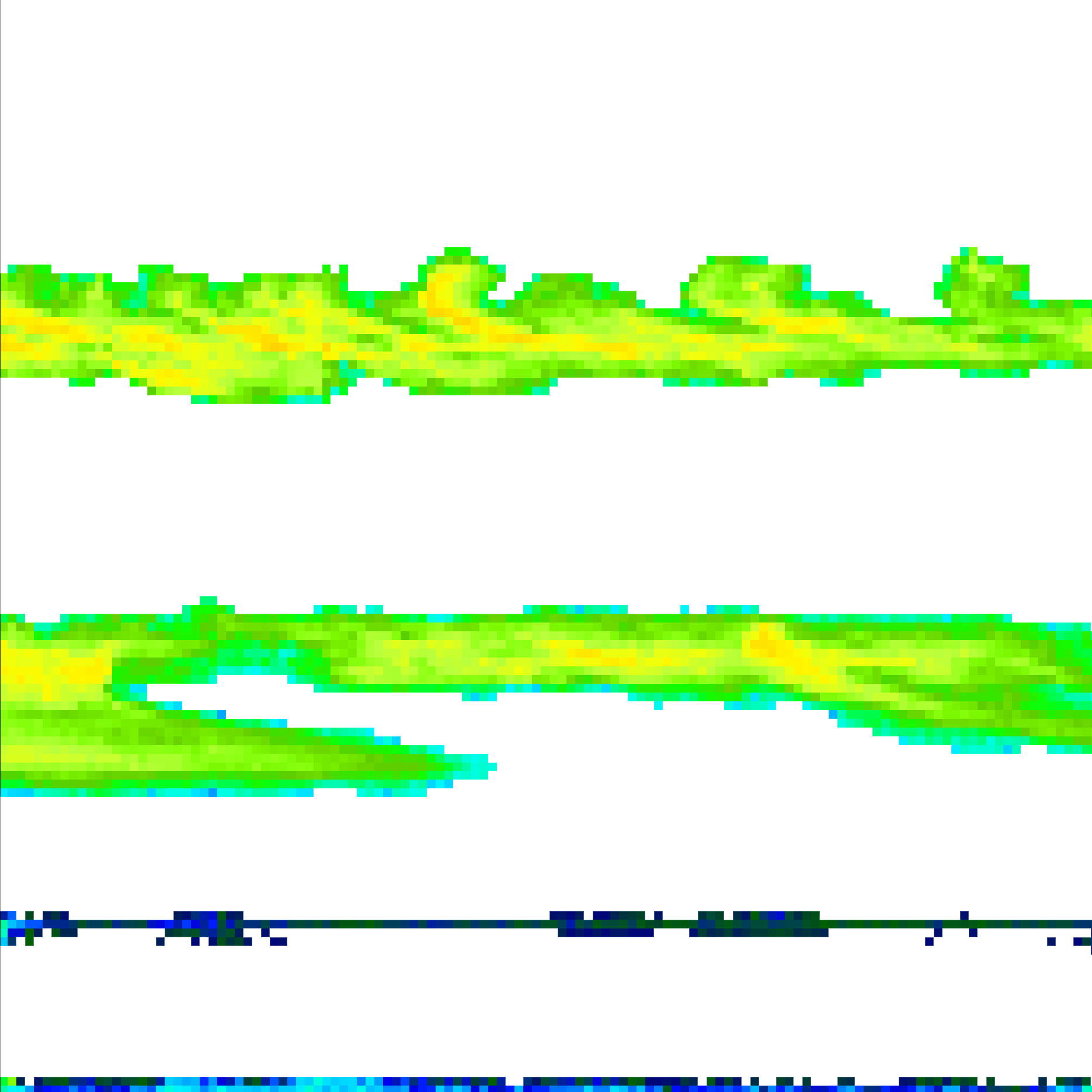
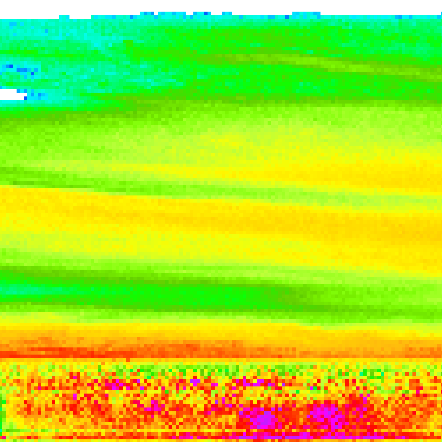
A handful of research-related photos and graphics created over the years.